DuPage River and Plainfield’s Natural Eastern Corridor: A Local Guide for Plainfield, IL
The DuPage River is the defining waterway of Plainfield, Illinois. It runs through northern Will County, collects runoff from a heavily developed watershed, and carries it south toward the Des Plaines River near Channahon. Along its banks, forest preserves, floodplain and wetland edges form a natural corridor on the village’s eastern side. Understanding how this corridor works helps residents make sense of local flooding, road conditions and water quality.
What the DuPage River Is and Where It Flows
The DuPage River forms from two branches, the East Branch and the West Branch, which begin in DuPage County and join in the Plainfield area. From there, the combined river travels south through Will County. Its watershed, the land area that drains into a river, covers hundreds of square miles of suburbs, farmland and open space.
That mix matters. Rain that once soaked into prairie soil now often runs off pavement, rooftops and compacted lawns into storm sewers and then into the river. The result is faster rises in water level after heavy storms.
The river’s path also shaped how the village grew. Roads such as Route 59 and Route 126 cross the river corridor, so many daily commutes pass over or beside the floodplain.
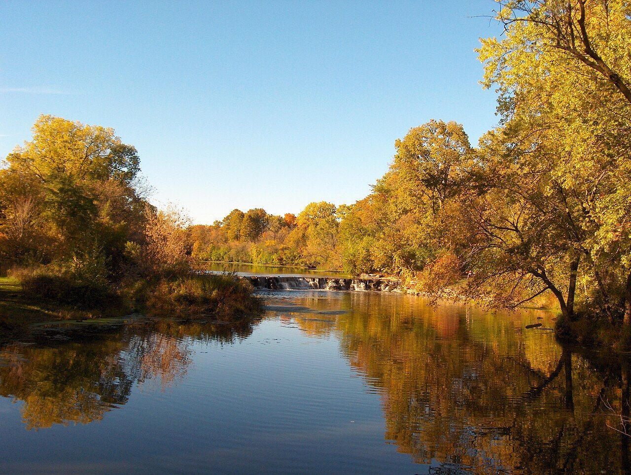
Image credit: Neatpete86 at English Wikipedia, Public domain, via Wikimedia Commons
The Natural Eastern Corridor: Preserves, Trails and Habitat
East of the village center, the river corridor links protected land managed largely by the Forest Preserve District of Will County. Preserves in the Plainfield and Shorewood area, including Lake Renwick and Hammel Woods, protect floodplain forest, wetland and riverbank habitat. Forest preserve maps show how these properties connect.
Floodplain forests do practical work. Tree roots hold soil in place, and wetlands slow and absorb stormwater before it reaches the channel. A floodplain is the flat land beside a river that stores overflow during high water. Wildlife also depends on this continuity. Herons, waterfowl and native fish use the corridor, and unbroken habitat gives them room to feed and move. Trails along parts of the river let residents see these ecosystems without disturbing them.
Seasonal Weather and the River
Plainfield sits in the Chicago region’s humid continental climate, which brings four distinct seasons and sharp swings between them. Spring combines snowmelt with heavy rainfall, and saturated ground sends more water into the river. Summer thunderstorms can drop large amounts of rain in a short time.
Winter adds its own pattern. Repeated freeze-thaw cycles, where temperatures move above and below 32°F, crack pavement and create potholes. Meltwater then carries sediment and road salt toward storm drains and the river.
The National Weather Service Chicago office issues flood and flash flood alerts for Will County. Its “Turn Around, Don’t Drown” message reflects a simple fact: a small amount of moving water can float a vehicle. Even a foot of water can lift many cars, and roads near the river corridor can flood quickly.
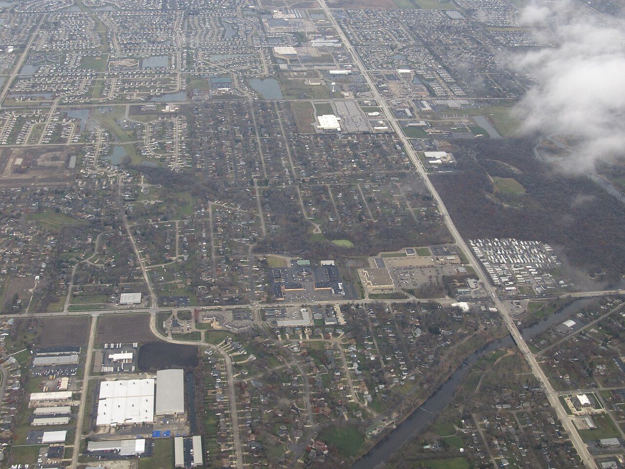
Image credit: Ken Lund from Reno, Nevada, USA, CC BY-SA 2.0, via Wikimedia Commons
Road Salt, Runoff and Water Quality
Northern Illinois relies heavily on road salt for winter safety. Chloride, the component of salt that dissolves in water, does not break down and does not filter out easily. Once it enters a stream, it stays there.
According to the U.S. Environmental Protection Agency, chloride concentrations above 230 milligrams per liter over time can harm freshwater aquatic life. The agency sets a short-term limit of 860 milligrams per liter. Regional groups such as the DuPage River Salt Creek Workgroup monitor chloride and other pollutants in the watershed.
Chloride is only one concern. Stormwater can also carry oil, grease, brake dust, antifreeze and other fluids that drip from vehicles onto pavement. Federal law under the Clean Water Act and the Illinois Environmental Protection Act restricts discharging such pollutants into waterways, and used automotive fluids must be handled and disposed of properly.
What the River Corridor Means for Plainfield Drivers
Living near a river corridor affects vehicles as well as landscapes. Here are the main ways local conditions reach the road:
- Salt exposure: Winter salt and brine speed up corrosion on the undercarriage, brake lines, fuel lines and exhaust components.
- Standing water: Flooded roadways can push water into engines, transmissions, axles and electrical systems.
- Hydroplaning: This occurs when tires ride on a film of water instead of gripping the pavement, and it becomes more likely on low stretches after heavy rain.
- Pothole damage: Freeze-thaw cycles harm tires, wheels and suspension parts.
- Fluid leaks: Vehicles that leak oil or coolant add pollutants to runoff that reaches the river.
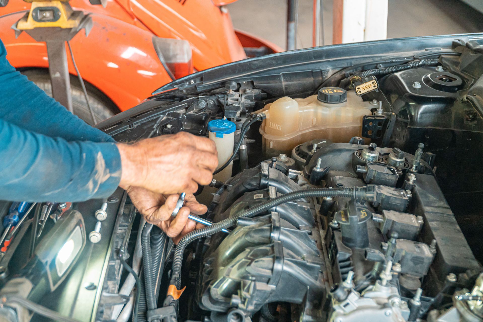
Drivers can check flood risk before a storm. The FEMA flood map tool shows which areas lie in mapped floodplains. After any exposure to deep water or heavy salt, a vehicle inspection of fluids, electrical connections, brakes and the undercarriage helps identify damage early, and Plainfield drivers can find local auto repair options nearby.
The DuPage River links Plainfield’s landscape, weather and daily travel. Protecting its corridor protects both the local environment and the roads residents use every day.